GeoSEA provides Location Intelligence (LI) software, services, and solutions.
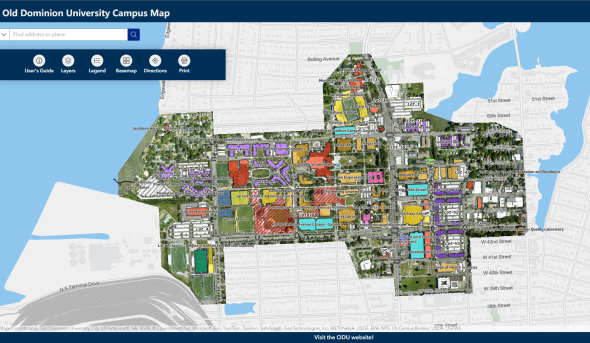
The Center is staffed by the Geospatial & Visualization Computing team, a division of Information Technology Services (ITS), which consists of 4 full-time staff. We work closely with faculty, staff, and graduate students to help them integrate geospatial information, visualization, and analysis into their projects, research, and course work. Our primary directives are to provide high level research support, enable academic use of geospatial technologies, and to plan and manage the University's enterprise GIS and distributed GIS applications.
This Center for Geospatial Science, Education, and Analytics (GeoSEA) is located in Suite 402 of the Innovation Research Park Building #1, at 4111 Monarch Way, Norfolk, VA 23508.
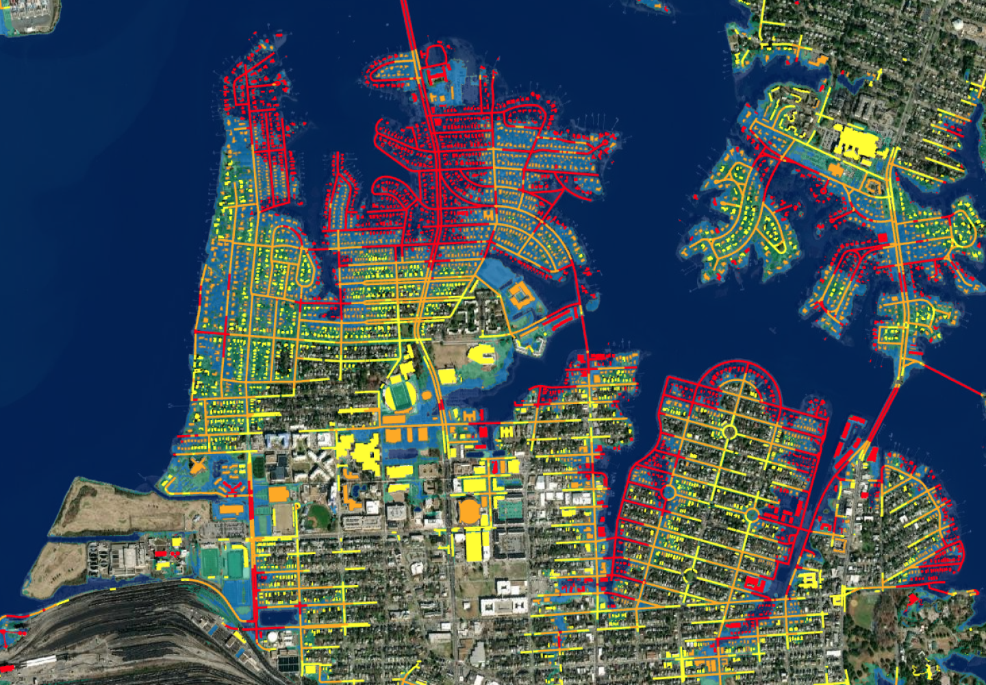
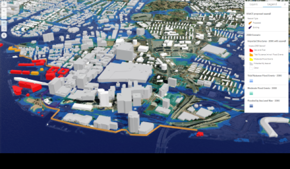
ODU's GeoSEA Center develops future sea level rise and flooding maps to support Governor Northam's development of the Commonwealth's first ever Coastal Resilience Master Plan.
(More)
Recent weather patterns and climate science suggest Tornado Alley has moved; data show increased storms likely to spawn tornadoes in Deep South states like Alabama and North Carolina.
This shift inspired Tom Allen, professor in Old Dominion University's Department of Political Science and Geography, to consider whether our state has a geographic region more prone to tornadoes.
(More)
Old Dominion University's Teresa Updyke and George McLeod have been using drones in an innovative way: to calibrate radar antennas located along the bay and coast.
(More)
An ODU team led by Dr. Tom Allen partnered with City of Norfolk and NOAA to use drones, GIS, blue water-based paint, chalk lines, and flags to show the projected future high tides.
(More)
For assistance with software installations, technical troubleshooting, or data discovery please place an inquiry with our Help Desk at itshelp@odu.edu or (757) 683-3192.