
By Philip Walzer
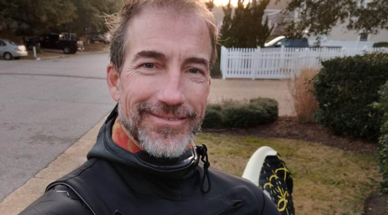
George McLeod put away his dreams of surfing professionally when he realized his 6-foot-4 frame would be a liability.
“But I love the coast and the water,” McLeod said. “I thought if I had a job in close proximity to the ocean, I’d be happy.”
He got his wish and more, as water also became a primary focus of his work.
It took McLeod two bachelor’s degrees, though, to find his bearings.
His first was in marketing at Virginia Commonwealth University. After his second – from Old Dominion University in 2004 – McLeod went to work at Old Dominion as a GIS (geographic information system) engineer. He hasn’t left.
Now director of Old Dominion’s Center for Geospatial Science, Education and Analytics, McLeod explains GIS in simple terms: It’s using an array of computerized tools to answer “questions of where.”
“Much of what we do,” he said, “involves combining various data sources, such as satellite and drone imagery, GPS data and other spatial data, to uncover and model patterns, trends and relationships tied to specific locations.”
McLeod didn’t stop his ODU education with a bachelor’s degree in geography.
He received a master’s in ocean, earth and atmospheric sciences in 2009 and a Ph.D. in oceanography a few weeks ago. “Every class I took blew my mind and made me a better person,” said McLeod, who loved poring over atlases as a boy.
Tom Allen, a professor of political science and geography who helped McLeod get his first job and later collaborated with him on research, said, “There are not many people like George at the University. He basically grew GIS across the campus. He’s very interested in leveraging applied research and using it in practical ways to solve problems.”
McLeod, who began as a one-person GIS department, now oversees a five-member team, which reports to Information Technology Services.
“He brought a vision for the application of GIS and how we could use it in every aspect,” said Rusty Waterfield, the University’s chief information officer and associate vice president for university services. “He thinks big, and he’s very innovative. He’s constantly learning and keeping up with technology, and his effort is second to none.”
McLeod said his goal is “to enhance the ability of all researchers, faculty, staff and students to conduct geospatial research and to increase the academic offerings and technologies available.”
The faculty members, McLeod stressed, represent a variety of disciplines, including environmental sciences, business, criminal justice and history.
McLeod expanded his GIS work to sea level rise and resilience in 2009. Since 2019, he has also been a senior fellow at the Commonwealth Center for Recurrent Flooding Resiliency.
One of the most significant projects he participated in was the creation of sea level rise flooding models for all of Virginia’s coastal areas through the year 2080 as the foundation for a statewide coastal resilience master plan.
The models have gained significant traction and wide use. In the past year, the web map modeling sea level flooding in 2060 has been seen nearly 3 million times.
Another project that excites him is a NASA-funded initiative to create a “digital twin” of the region, which will simulate the effects of flooding on infrastructure as well as socioeconomically challenged neighborhoods.
“Visualizations are eye-catching, they drive discussion and they get attention,” he said.
In 2018, McLeod and his team received a Special Achievement in GIS Award from Esri, a leading supplier of GIS software. But when asked about the highlight of his job, McLeod pointed to his staff. “I’m bragging on them all the time,” he said. “I’m truly fortunate to lead an amazingly talented team.”
McLeod also brags about his student workers and where they’ve gone – NASA, the National Oceanic and Atmospheric Administration, Apple and The New York Times, among other employers. “They drive change in external organizations, which is something I’m very proud of,” McLeod said during a talk in November at a forum sponsored by Esri.
At the start, McLeod remembers, acquiring GIS data could be a struggle. “Now, the challenge is inverted. We’re working with a giant haystack of data, and we have to master the skills to understand which data to use.” Looking ahead, he foresees work shifting from high-performance desktops to the cloud.
McLeod’s dissertation examined the effect of flooding and sea level rise on macro and micro levels – going from the state as a whole to individual electrical junction boxes. It also incorporated previous work at ODU looking at the ramifications for the Port of Virginia.
His older son, Koa, is following his path, as both a surfer and a student majoring in ocean and earth sciences at Old Dominion.
The next major GIS frontier, McLeod said, is drones. As usual, he jumped onto the trend early. McLeod was one of the first at ODU to get a license to fly a drone, Waterfield said.
Drones, McLeod said at the Esri forum, “have been extremely useful in allowing us to take data collection into our own hands and do it on our own time scale.”